We use our own equipment — calibrated, maintained and operated by the same team you'll work with on a project.
A summary of what's available follows. Full equipment list on request.

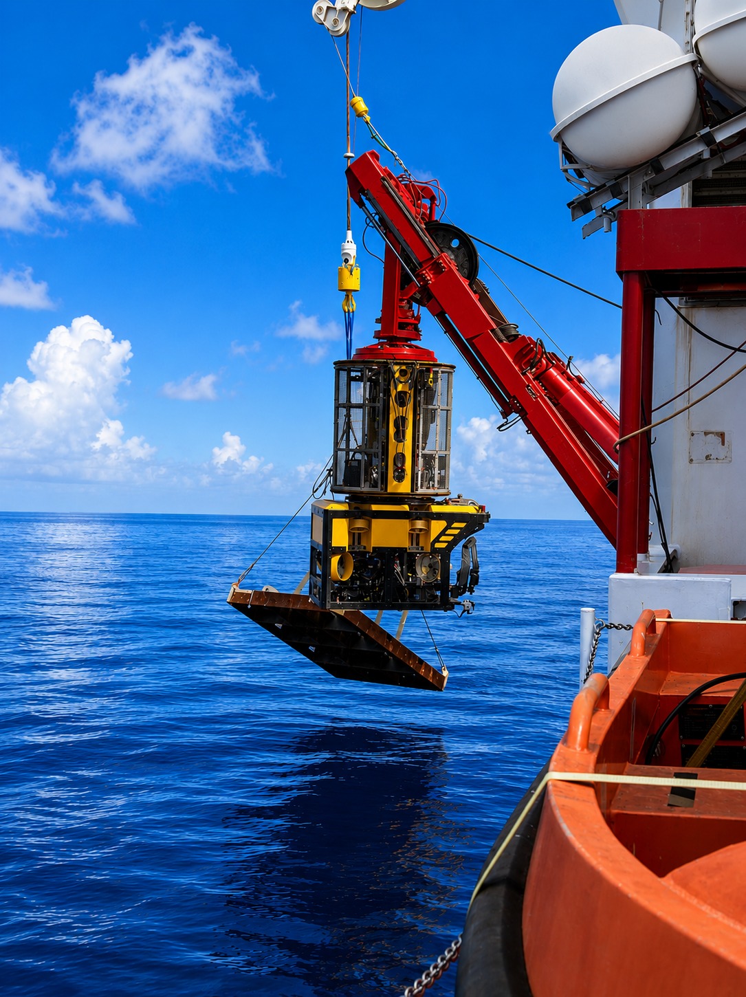
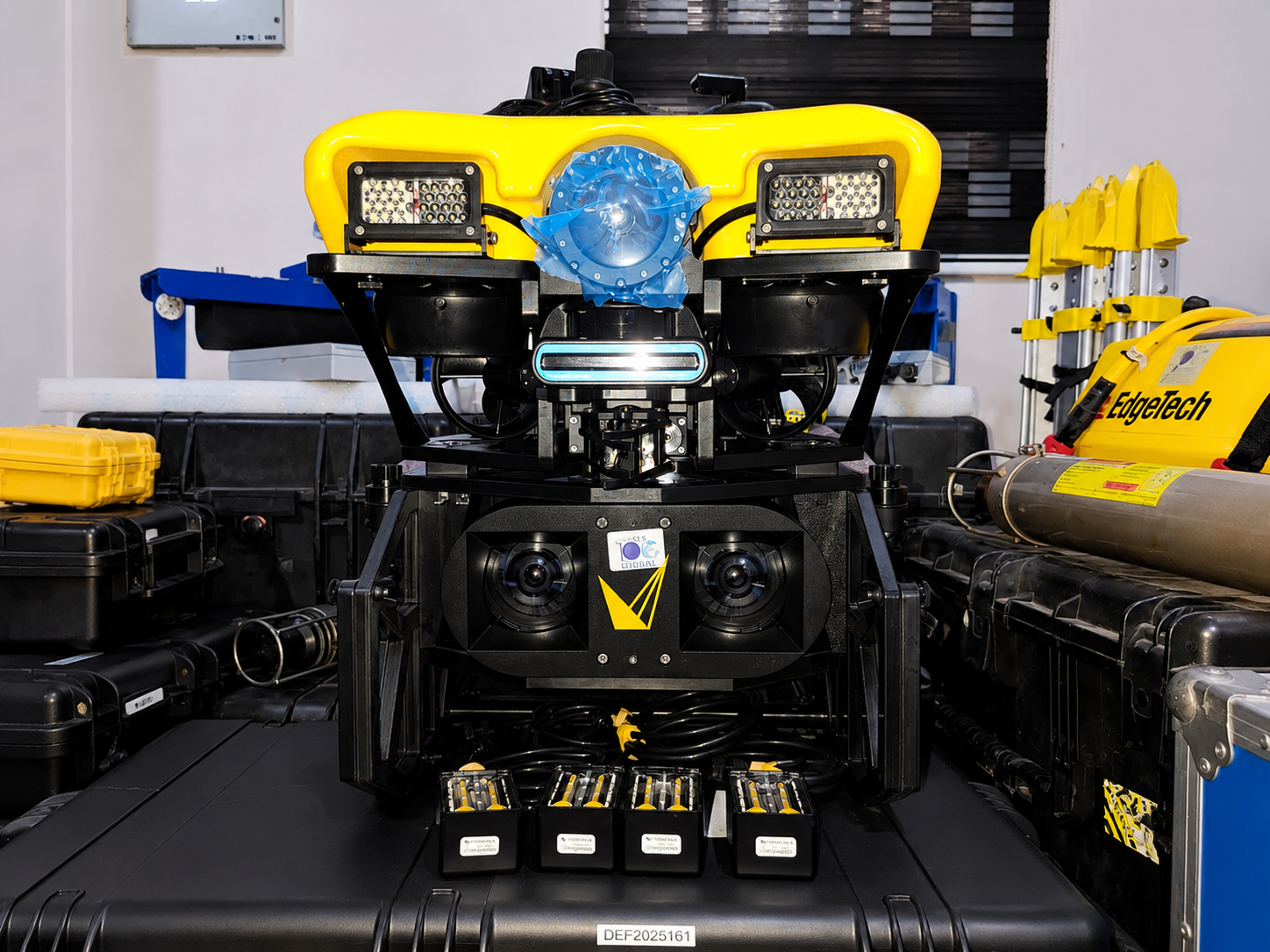
Our inspection-class ROV is fitted with HD/4K video and Voyis stereo photogrammetry, suitable for pipeline and structural inspection in deepwater environments. Working depth up to 4,000 m.

Autonomous platform for hull and structure inspection in confined or congested subsea environments — operates without a tether.

For shallower inspection work, jack-up support and pipeline checks — a smaller, more flexible platform.

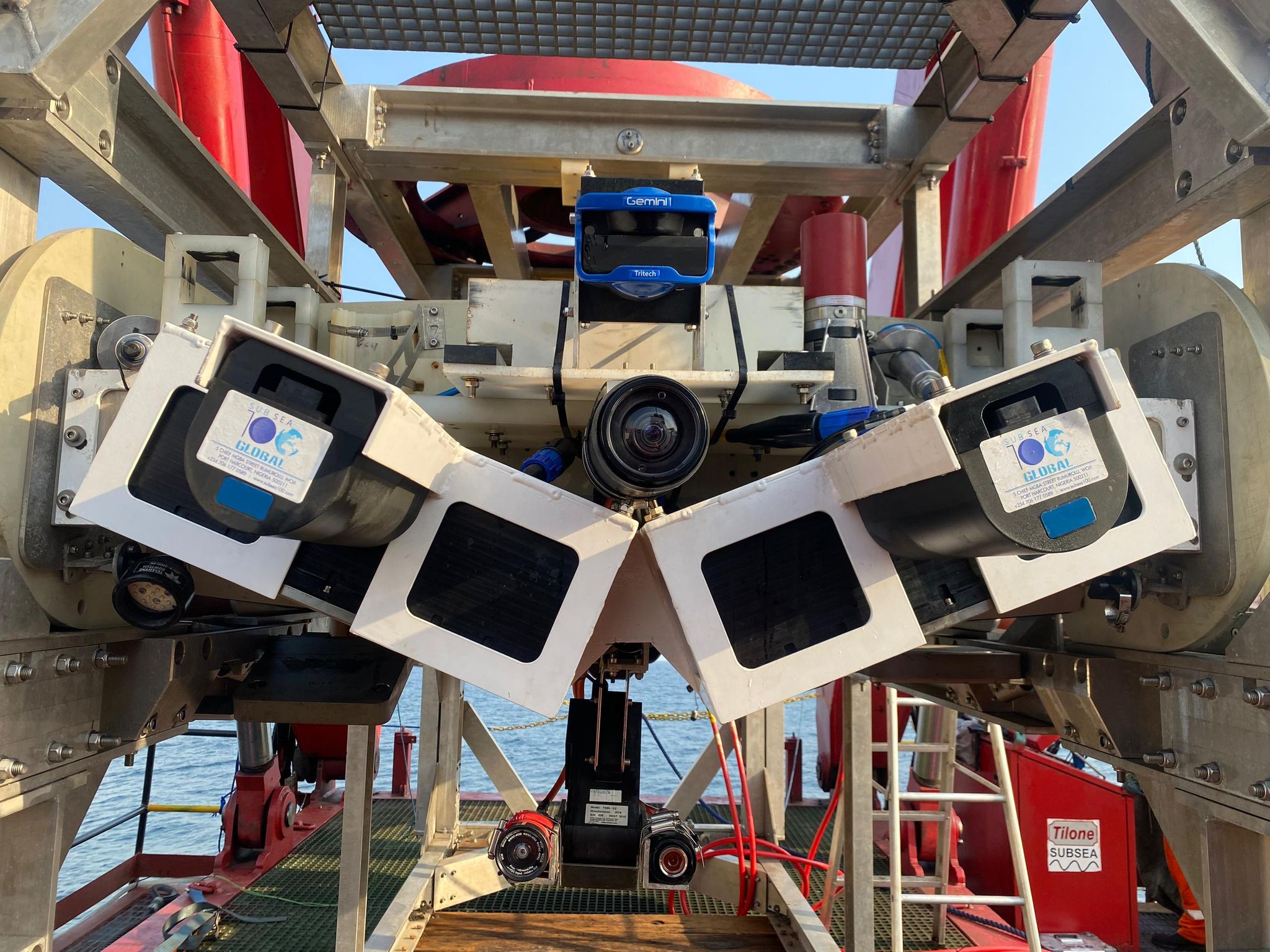
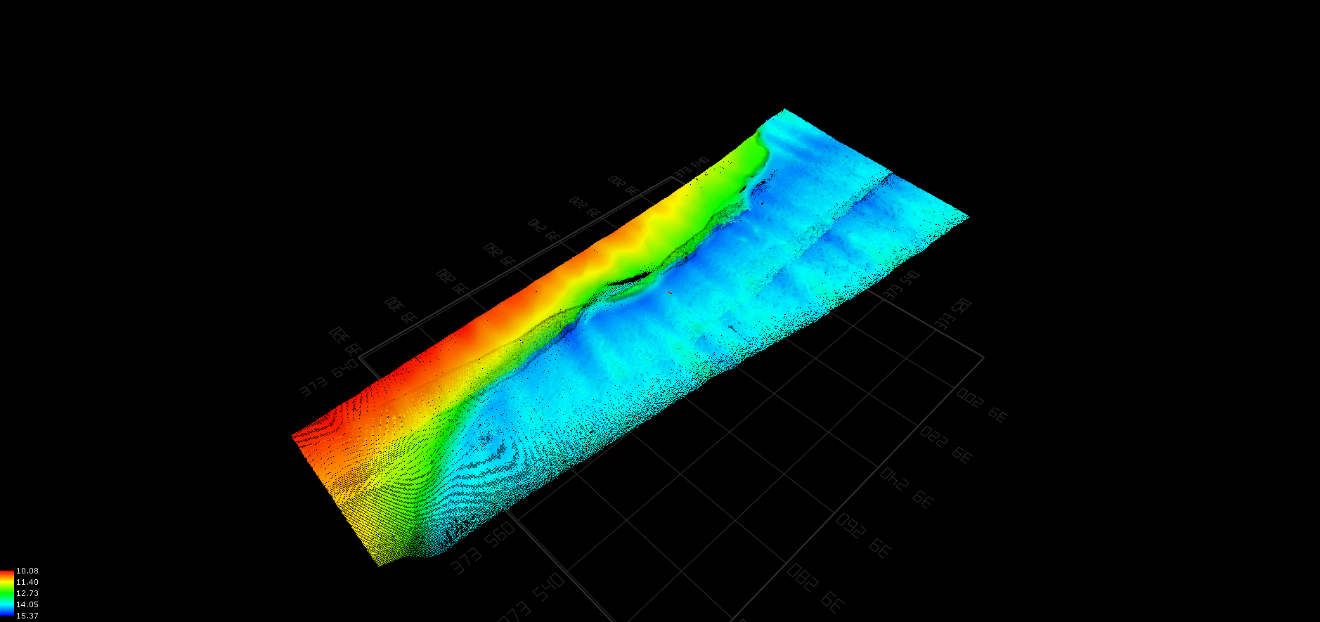
Hull-mounted and pole-mount multibeam systems for detailed seabed mapping.

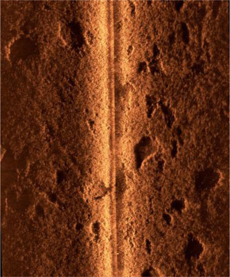
Towed and ROV-deployed side-scan systems for high-resolution seabed imaging.

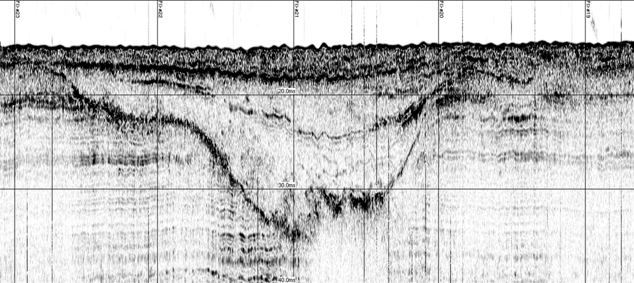
Profilers and 2D seismic sources for shallow geological investigation and hazard assessment.

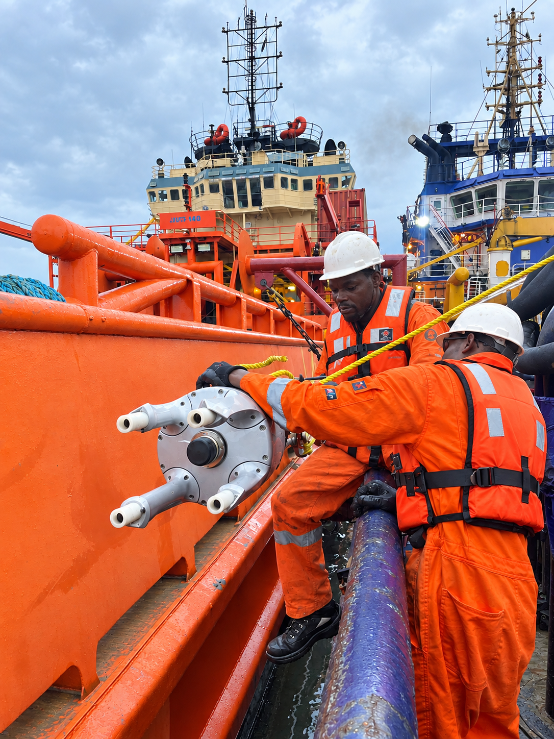
Vessel and rig-mounted USBL transducers for tracking ROVs and subsea targets in real time.

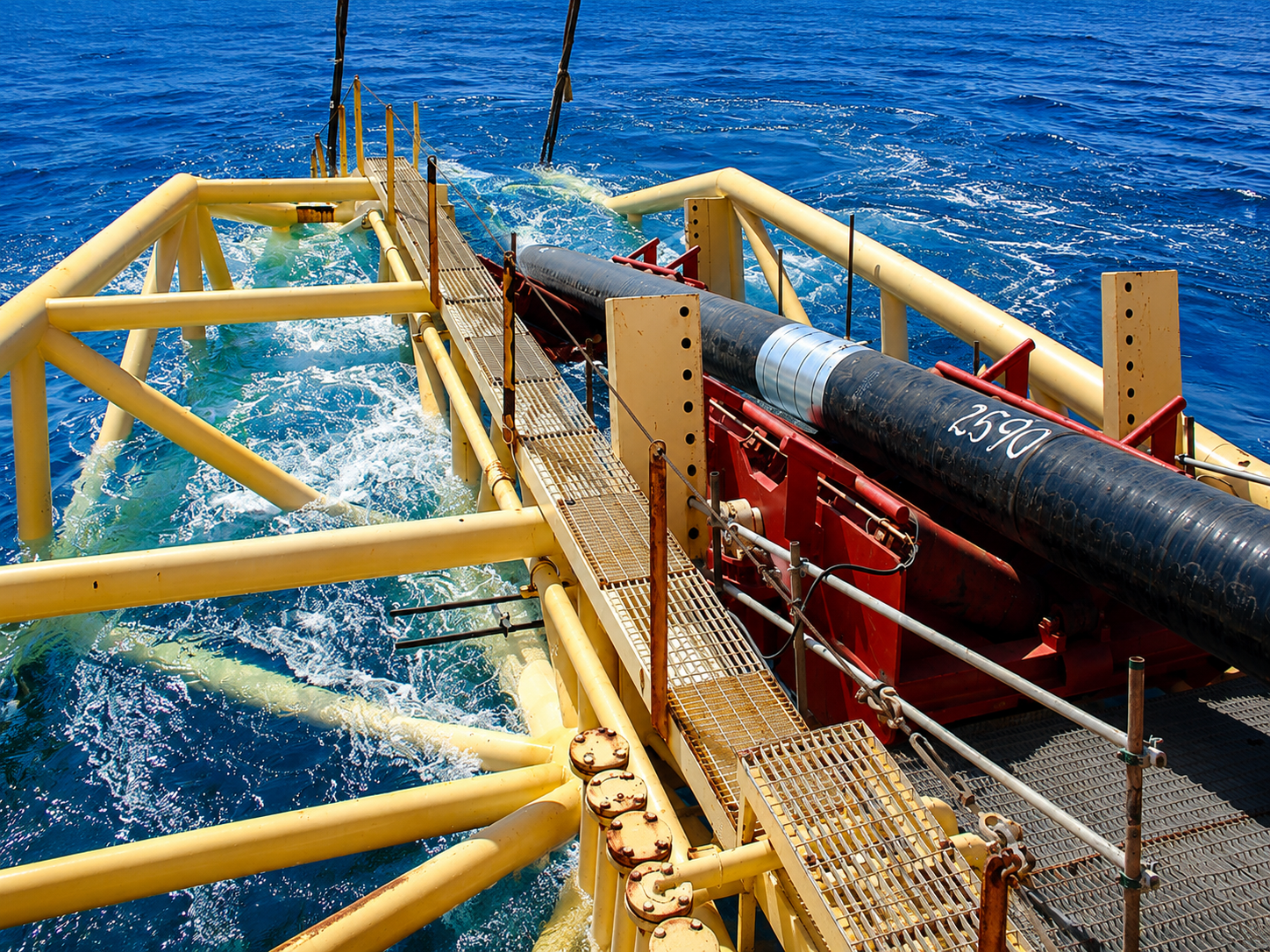
Differential GNSS and inertial navigation for vessel and rig positioning during drilling, pipelay and construction support.
Industry-standard packages our processors and surveyors are trained on — used end-to-end from acquisition to final deliverable.
Hydrographic survey acquisition, integrated navigation and real-time data logging.
End-to-end acquisition and navigation for ROV and pipeline survey.
Bathymetric and side-scan processing, seabed classification and chart production.
Multi-sensor processing for engineering survey and dredge monitoring.
Stereo photogrammetry mesh generation and 3D as-built modelling.
Geo-referenced deliverables, route reports and integrity maps.
UHR seismic interpretation, shallow-hazard mapping and fault identification.
Internal database keeping deliverables linked back to the original acquisition.
This is a summary of what we run regularly — we mobilise additional spreads through partners for vessels, AUVs and specialist sensors. Send us the scope and we'll come back with a setup.